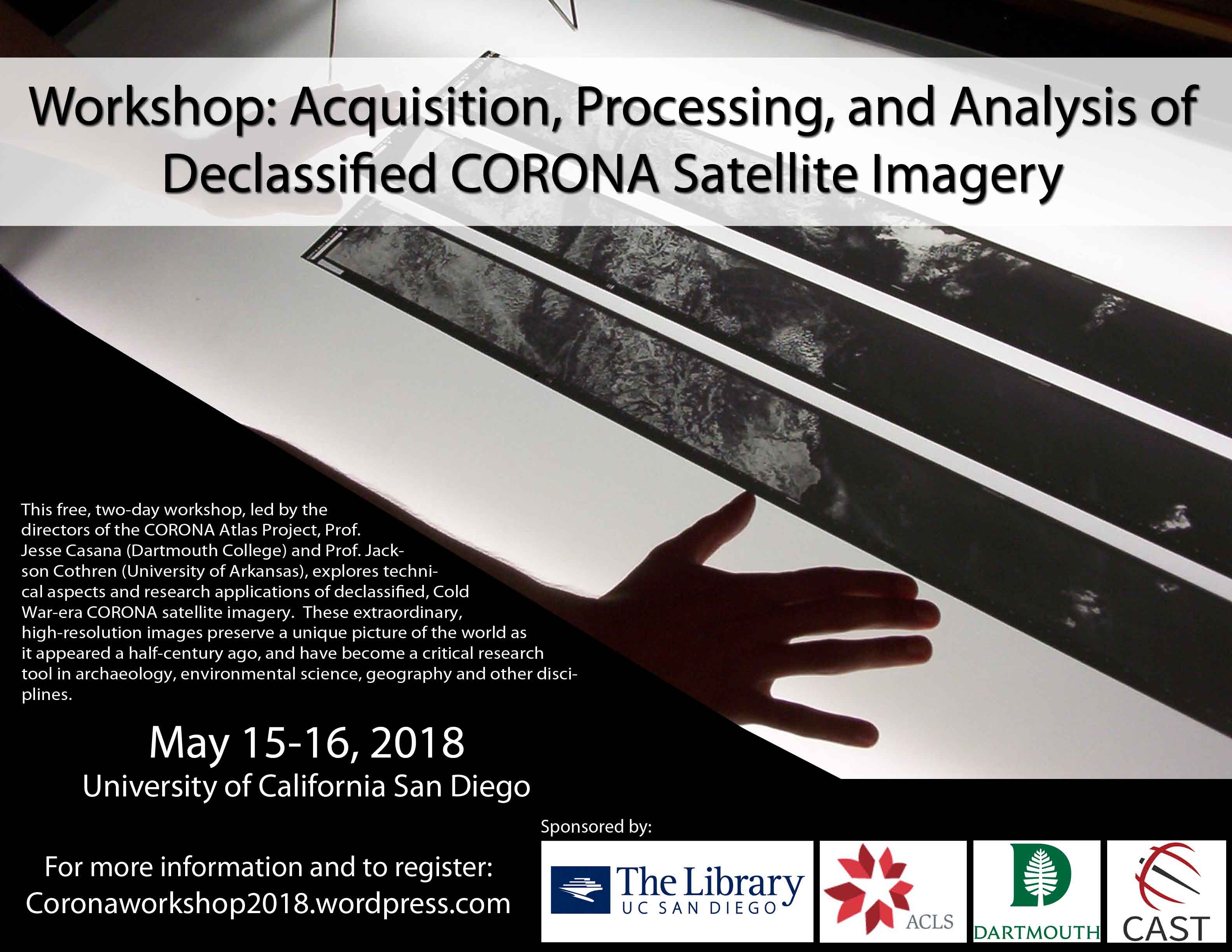
The UC San Diego Center for Cyber-Archaeology and Sustainability at the Qualcomm Institute and the UC San Diego Library are hosting a free workshop May 15 – 16, 2018 that will explore the technical aspects and research applications of declassified, Cold War-era CORONA satellite imagery. In operation from 1960-1972, the CORONA satellite program collected over 860,000 images across the entire globe, all of which are now publicly available through the USGS. These extraordinary, high-resolution images preserve a unique picture of the world as it appeared a half-century ago, and have become a critical research tool in archaeology, environmental science, geography and other disciplines. The workshop is led by Jesse Casana, Associate Professor of Anthropology at Dartmouth College. The workshop will take place in the Geisel Library.
Workshop: Acquisition, Processing, and Analysis of Declassified CORONA Satellite Imagery
Funded by the Corona Atlas project itself, this will be a great opportunity to learn about this dataset and the methods that the instructors have developed to analyze it. Please see the attached flyer and distribute to any of your staff and students that might be interested.
Registration is required as space is limited. For more information and registration, visit the website.

