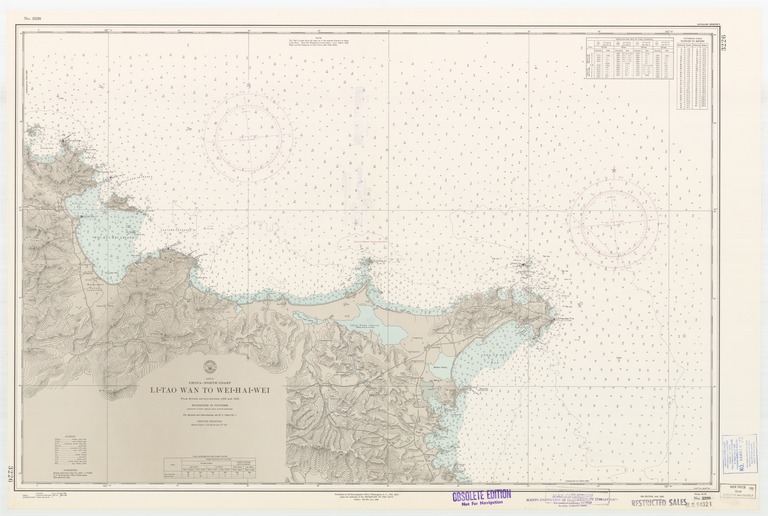
Asia : China-north coast : Li-Tao Wan to Wei-Hai-Wei

- Collection
- Creation Date
- 1951-01-01
- Date Issued
- 1966-04-01
- Publisher
- Note
-
From British surveys between 1898 and 1903
Relief shown by contours and spot heights; depths shown by soundings and isolines; Mercator projection
- Geographic
- Topics
- Cartographics
Polygon: 37.66666667,122.0666667 37.66666667,122.8833333 37.24166667,122.8833333 37.24166667,122.0666667 37.66666667,122.0666667
Formats
View formats within this collection
- Language
- No linguistic content; Not applicable
- Series
-
4th edition, No. 3226
- Digital Origin
-
reformatted digital
- Copyright
-
Public Domain (US)
Use: This work is available from the UC San Diego Library. This digital copy of the work is intended to support research, teaching, and private study.
Constraint(s) on Use: This work may be used without prior permission.
- Digital Object Made Available By
-
UC San Diego Library, UC San Diego, La Jolla, CA 92093-0175 (https://library.ucsd.edu/dc/contact)
- Last Modified
2022-11-02