Indonesia : Kepulauan Gorong and Kepulauan Banda including southeastern coast of Ceram

- Collection
- Description
-
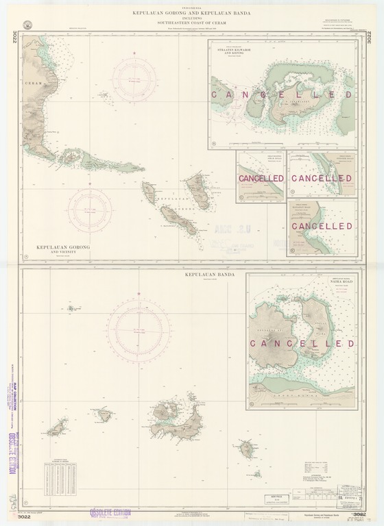
Kepulauan Gorong and vicinity; Poelau Ceramlaoet, Straaten Kilwaroe and Kefing; Poelau Manwoka, Amar Road; Poelau Gorong, Ondoer Road; Poelau Gorong, Kailakat Road; Kepulauan Banda, Naira Road; Kepulauan Banda
- Creation Date
- 1949-01-01
- Date Issued
- 1967-01-30
- Publisher
- Note
-
From Netherlands Government surveys between 1923 and 1930
Relief shown by form lines and spot heights; depths shown by soundings and isolines
- Geographic
- Topics
- Cartographics
Polygon: -3.416666667,129.6152778 -3.416666667,132.0208333 -4.7,132.0208333 -4.7,129.6152778 -3.416666667,129.6152778
Formats
View formats within this collection
- Language
- No linguistic content; Not applicable
- Series
-
5th edition, No. 3022
- Copyright
-
Public Domain (US)
Use: This work is available from the UC San Diego Library. This digital copy of the work is intended to support research, teaching, and private study.
Constraint(s) on Use: This work may be used without prior permission.
- Digital Object Made Available By
-
UC San Diego Library, UC San Diego, La Jolla, CA 92093-0175 (https://library.ucsd.edu/dc/contact)
- Last Modified
2022-11-02