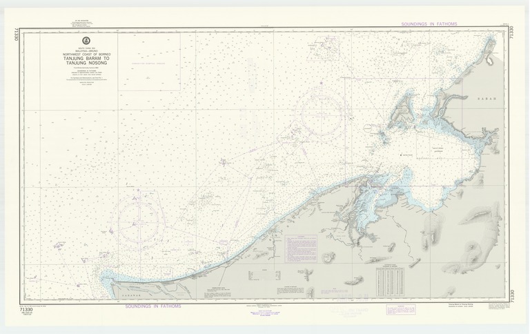
South China Sea : Malaysia-Brunei : northwest coast of Borneo : Tanjung Baram to Tanjung Nosong

- Collection
- Creation Date
- 1984-09-22
- Date Issued
- 1984-09-22
- Publisher
- Note
-
From British Admiralty charts to 1983
Relief shown by contours, landform drawings and spot heights; depths shown by soundings and isolines; Mercator projection
- Geographics
- Topics
- Cartographics
Polygon: 5.67,113.6 5.67,115.65 4.52,115.65 4.52,113.6 5.67,113.6
Formats
View formats within this collection
- Language
- No linguistic content; Not applicable
- Series
-
12th edition, No. 71330
- Digital Origin
-
reformatted digital
- Copyright
-
Public Domain (US)
Use: This work is available from the UC San Diego Library. This digital copy of the work is intended to support research, teaching, and private study.
Constraint(s) on Use: This work may be used without prior permission.
- Digital Object Made Available By
-
UC San Diego Library, UC San Diego, La Jolla, CA 92093-0175 (https://library.ucsd.edu/dc/contact)
- Last Modified
2022-11-02