Have you looked at your data from a geographic perspective?
Geospatial technologies enable us to acquire earth-referenced data and use it for analysis, modeling, simulations and visualization. Geospatial technologies allow us to make informed decisions based. Here in the Library, we have a number of resources that you can use to help you create intelligent maps and models that can reveal spatial patterns that may not be accessed collectively or mapped otherwise. Start by using your SSO to access Esri’s ArcGIS software that is available through a campus-wide license agreement. We can also help direct you to a number of other GIS software platforms based on your research needs.
If you are looking for GIS data:
- Check out this list of GIS datasets and satellite imagery sources from around the world.
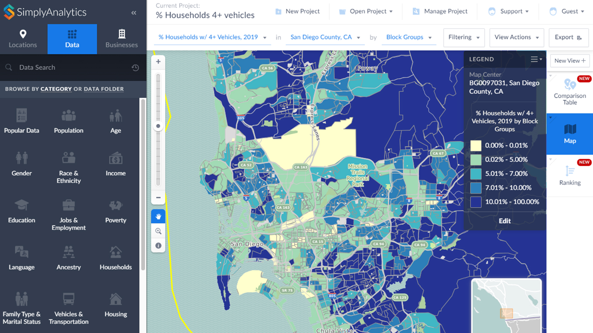
- Use one of five campus-wide licenses to download demographic data in table or shapefile format from Simply Analytics.
- Visit the Data & GIS Lab to access historical data for San Diego and licensed datasets such as a global mobile phone coverage.
- Use your own table of addresses to geocode – a process of transforming a description of a location—such as a pair of coordinates, an address, or a name of a place—to a location on the earth’s surface using any number of browser-based or desktop geocoding resources.
Meet others on campus at one of our bi-quarterly Pulse of GIS at UC San Diego meetings to share or learn how others are applying geospatial concepts to their work. Geospatial technologies have become an essential part of everyday life and change the way we live. Visit us in the Data & GIS Lab or setup an appointment with GIS Librarian Amy Work to find out more.
Image caption: Simply Analytics showing percentage of households that have four or more vehicles in San Diego County.