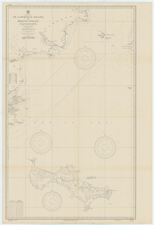
Bering Sea : St. Lawrence Island to Bering Strait

- Collection
- Creation Date
- 1944-03-01
- Date Issued
- 1945-02-01
- Publisher
- Note
-
From a U.S.S.R. government survey in 1932 and 1933 with additions from U.S. Government charts and other sources to 1943
Relief shown by landform drawings and spot heights; depths shown by soundings and isolines
- Geographics
- Topics
- Cartographics
Polygon: 66.2,-172.6666667 66.2,-167.9166667 62.83333333,-167.9166667 62.83333333,-172.6666667 66.2,-172.6666667
Formats
View formats within this collection
- Language
- No linguistic content; Not applicable
- Series
-
1st edition, No. 5819
- Copyright
-
Public Domain (US)
Use: This work is available from the UC San Diego Library. This digital copy of the work is intended to support research, teaching, and private study.
Constraint(s) on Use: This work may be used without prior permission.
- Digital Object Made Available By
-
UC San Diego Library, UC San Diego, La Jolla, CA 92093-0175 (https://library.ucsd.edu/dc/contact)
- Last Modified
2022-11-02