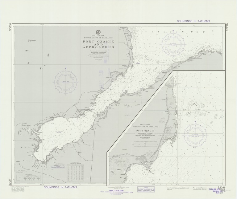
Philippines : north coast of Mindanao : Port Ozamiz and approaches

- Collection
- Creation Date
- 1959-09-14
- Date Issued
- 1978-07-22
- Publisher
- Note
-
From surveys by U.S.C. & G.S. to 1954
Relief shown by contours and spot heights; depths shown by soundings; Mercator projection
- Geographics
- Topics
- Cartographics
Polygon: 8.25,123.6 8.25,124.07 7.9,124.07 7.9,123.6 8.25,123.6
Formats
View formats within this collection
- Language
- No linguistic content; Not applicable
- Series
-
2nd edition, No. 92296
- Digital Origin
-
reformatted digital
- Copyright
-
Public Domain (US)
Use: This work is available from the UC San Diego Library. This digital copy of the work is intended to support research, teaching, and private study.
Constraint(s) on Use: This work may be used without prior permission.
- Digital Object Made Available By
-
UC San Diego Library, UC San Diego, La Jolla, CA 92093-0175 (https://library.ucsd.edu/dc/contact)
- Last Modified
2022-11-02