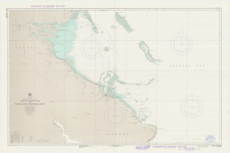
East Indian Archipelago : Indonesia : Borneo-east coast : Pulau Maratua to Tandjung Mangkalihat

- Collection
- Creation Date
- 1966-11-12
- Date Issued
- 1973-11-12
- Publisher
- Note
-
From a Netherlands survey between 1900 and 1902
Relief shown by spot heights; depths shown by soundings and isolines; Mercator projection
- Geographics
- Topics
- Cartographics
Polygon: 2.333333333,117.4 2.333333333,119.6833333 0.866666667,119.6833333 0.866666667,117.4 2.333333333,117.4
Formats
View formats within this collection
- Language
- No linguistic content; Not applicable
- Series
-
2nd edition, No. 72120
- Copyright
-
Public Domain (US)
Use: This work is available from the UC San Diego Library. This digital copy of the work is intended to support research, teaching, and private study.
Constraint(s) on Use: This work may be used without prior permission.
- Digital Object Made Available By
-
UC San Diego Library, UC San Diego, La Jolla, CA 92093-0175 (https://library.ucsd.edu/dc/contact)
- Last Modified
2022-11-02