Plano de Ensenada, Baja California, Mexico
- Collection
- Creation Date
- 1915
- Creator
- Former Owner
- Physical Description
-
1 map ; 50 x 85 cm
- Material Details
-
cartographic image
- Note
-
Blue line print
Special Collections copy with manuscript legend locating buildings, stores, adobe houses, factories, schools, agricultural areas and vegetable gardens
Street map showing numbered lots, subdivisions, parks, etc
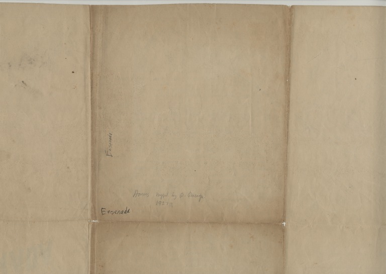
"Houses mapped by P. Meigs, 1927?"--manuscript note on verso
- Geographic
- Topic
Format
View formats within this collection
- Language
- Spanish; Castilian
- Statement Of Responsibility
-
David Goldbaum
- Publication
-
[Ensenada, Baja California, Mexico], [publisher not identified]
- Copyright
-
Public domain (US)
Use: This work is available from the UC San Diego Library. This digital copy of the work is intended to support research, teaching, and private study.
Constraint(s) on Use: This work may be used without prior permission.
- Digital Object Made Available By
-
Special Collections & Archives, UC San Diego, La Jolla, 92093-0175 (https://lib.ucsd.edu/sca)
- Last Modified
2020-10-26