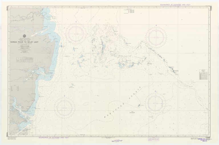
East Indian Archipelago : Indonesia Makassar Strait : Borneo-east coast : Sungai Pasir to Selat Laut

- Collection
- Creation Date
- 1981-02-07
- Date Issued
- 1981-02-07
- Publisher
- Note
-
From Netherlands surveys between 1893 and 1925 with additions to 1953
Relief shown by contours and spot heights; depths shown by soundings and isolines; Mercator projection
- Geographics
- Topics
- Cartographics
Polygon: -1.808333333,116.0666667 -1.808333333,118.35 -3.283333333,118.35 -3.283333333,116.0666667 -1.808333333,116.0666667
Formats
View formats within this collection
- Language
- No linguistic content; Not applicable
- Series
-
4th edition, No. 72090
- Copyright
-
Public Domain (US)
Use: This work is available from the UC San Diego Library. This digital copy of the work is intended to support research, teaching, and private study.
Constraint(s) on Use: This work may be used without prior permission.
- Digital Object Made Available By
-
UC San Diego Library, UC San Diego, La Jolla, CA 92093-0175 (https://library.ucsd.edu/dc/contact)
- Last Modified
2022-11-02